Waiting in long lines or arriving at crowded venues wastes time and creates unnecessary stress. Google Maps and Apple Maps now use AI-driven “popular times” data and predictive analytics to show when businesses are busiest, helping users plan visits during quieter periods. These features analyze aggregated location data from users who have opted in, displaying both historical busyness patterns and real-time crowd levels for restaurants, stores, and other public places.

The technology works by examining anonymized location history to identify typical traffic patterns throughout the week, then marking the busiest hour as a benchmark. Live data updates adjust these predictions when unexpected events cause crowd surges or drops. This information appears directly in the mobile app when searching for a location, making it easy to check before heading out.
Understanding how to use these AI-powered insights can transform daily routines. Whether avoiding grocery store rushes, finding the best time to visit a popular restaurant, or planning errands around peak hours, predictive crowd data helps users make smarter decisions about when and where to go.
Table of Contents
Key Takeaways
- Google Maps and Apple Maps use AI to display historical and real-time busyness data, helping users avoid crowds at restaurants, stores, and other venues.
- The technology analyzes anonymized location data to predict peak hours and displays live updates when current conditions differ from typical patterns.
- Checking popular times before visiting saves time, reduces stress, and enables better planning for shopping trips and outings.
How AI-Driven ‘Popular Times’ and Predictive Data Work

Google and Apple leverage aggregated location data from mobile devices to generate real-time crowd insights, while machine learning models predict future traffic patterns at specific venues. These systems process billions of anonymized data points to help users make informed decisions about when to visit restaurants, stores, and other locations.
The Technology Behind Popular Times
Google Maps collects anonymized location data from users who have enabled Location History on their devices. The system aggregates this information to identify patterns in foot traffic at businesses and public spaces throughout different times of day and week.
Machine learning algorithms process this data through cloud computing infrastructure to identify trends and normalize the information. The technology analyzes historical visit patterns, current GPS signals, and real-time location pings from mobile app users.
Deep learning models enhance accuracy by recognizing complex patterns that simple statistical methods might miss. These models account for variables like holidays, weather events, and local happenings that influence crowd density.
The data undergoes continuous data analysis to refine predictions and improve reliability over time.
How Predictive Data Estimates Crowd Levels
The predictive system uses historical patterns combined with real-time inputs to forecast future crowd levels. Machine learning algorithms compare current conditions against vast datasets of previous visits to generate probability estimates for upcoming hours and days.
Google’s predictive analytics examine factors beyond simple averages. The system incorporates day of week, time of year, proximity to events, and recent trending patterns to calculate expected occupancy levels.
The technology displays predictions as bar graphs showing typical busyness levels, with AI-generated forecasts extending several hours ahead. Users see both historical “Popular Times” data and forward-looking estimates that help them choose optimal visit times.
Apple Maps has integrated similar predictive capabilities, though it relies more heavily on curated data sources and privacy-focused collection methods that limit some granularity.
Integration With Mobile and App Platforms
Both Google and Apple embed Popular Times directly into their native mapping applications on iOS and Android devices. The feature appears automatically when users search for businesses or view location details within the mobile app interface.
Third-party platforms access this data through APIs like the Google Places API, enabling external developers to incorporate crowd predictions into travel planners and business discovery tools. Some platforms combine this information with additional sources like anonymized telecom data to create more comprehensive crowd density layers.
The systems update continuously as new location data flows into cloud servers, ensuring predictions remain current throughout the day. Users benefit from these insights without needing separate applications or services.
Applying AI Insights to Optimize Shopping and Outings

AI-driven popular times data enables shoppers to strategically time their visits to retail locations, while digital tools provide additional layers of convenience through order protections and promotional access. These technologies transform how consumers approach both in-store and online shopping experiences.
Using AI Data to Plan Visits
Google Maps displays popular times graphs that show historical foot traffic patterns for retail locations, restaurants, and service businesses. These AI-generated predictions analyze aggregated location data to indicate when establishments typically experience peak crowds versus quieter periods.
Shoppers can check popular times before leaving home to identify optimal visiting windows. A grocery store might show low traffic at 7 AM on weekdays, while the same location becomes crowded between 5-7 PM. This data updates in real time, reflecting current conditions rather than relying solely on historical averages.
The visit duration feature estimates how long customers typically spend at specific locations. This helps shoppers allocate appropriate time for errands and avoid rushing through purchases. Some retailers monitor their own popular times data to adjust staffing levels and improve customer service during anticipated busy periods.
Order Protection and Digital Convenience
Many e-commerce platforms and mobile apps now offer order protection programs that safeguard purchases against delivery issues, defects, or fraud. Buyers can access these protections through buyer central portals or dedicated help center resources.
Digital shopping tools reduce the need to visit crowded physical stores entirely. Mobile apps allow users to browse inventory, compare prices, and complete transactions from any location. App extensions integrate with browsers to automatically apply available discounts and track price changes.
Order protections typically cover shipping delays, damaged goods, and unauthorized transactions. Shoppers should review specific coverage terms in the help center before completing purchases to understand what scenarios qualify for refunds or replacements.
Maximizing Promotions and Featured Selections
Retailers highlight featured selections through their mobile apps and websites, often combining these displays with time-sensitive promotions. AI algorithms personalize these recommendations based on browsing history and purchase patterns.
Suppliers who become a supplier through retail platforms gain access to promotional tools that increase product visibility. These featured placements drive traffic to specific items during sales events or seasonal campaigns.
Key promotional strategies include:
- Checking mobile apps daily for flash sales and limited-time offers
- Enabling push notifications for exclusive app-based discounts
- Reviewing featured selections during off-peak hours identified through popular times data
- Comparing prices across multiple platforms using browser extensions
Shoppers maximize savings by combining promotional codes with strategic timing based on AI predictions for crowd levels and inventory availability.
Enhancing User Experience and Accessibility
Maps applications prioritize interface design and support features that make crowd-avoidance tools usable for all visitors. Font selections, accessibility features, and centralized help resources determine whether users can effectively access popular times data and predictive analytics.
Font Choices and Readability in Apps
Google Maps and Apple Maps use sans-serif fonts like Arial for interface elements and data displays. These fonts maintain clarity at small sizes on mobile screens where popular times graphs appear. Times New Roman and similar serif fonts are avoided in mobile app interfaces because they reduce readability on low-resolution displays.
Line length in information cards stays between 40-60 characters to prevent eye strain when users scan busyness predictions. Text size adjusts automatically based on device settings, ensuring popular times data remains legible across different screen dimensions. The apps use high-contrast color schemes that distinguish busy periods from quiet hours without relying solely on color perception.
OCR technology enables both platforms to extract text from user-submitted photos of business hours and menus. This data supplements popular times information by confirming actual operating schedules against crowd predictions.
Accessibility and Assistance Tools
Screen readers interpret popular times graphs through text descriptions that announce crowd levels by hour. Users with visual impairments receive spoken notifications like “moderately busy at 2 PM” instead of relying on visual bar charts. VoiceOver on Apple Maps and TalkBack on Google Maps vocalize departure time suggestions based on predicted wait times.
Wheelchair accessibility information appears alongside popular times data in business listings. Google Maps indicates accessible entrances, parking availability, and interior navigation routes. These features help users with mobility considerations plan visits during less crowded periods when accessible facilities are easier to access.
Voice commands allow hands-free queries about current busyness levels. Users can ask “Is Target busy right now?” to receive instant crowd predictions without navigating through the mobile app interface.
Centralized Help and Support Features
The help center in Google Maps provides documentation on how popular times data gets collected and displayed. Users access explanations of aggregated location data through the app settings menu. This transparency helps visitors understand prediction accuracy and limitations.
Apple Maps integrates support features directly within the mobile app through contextual tips that appear when users view destination details. The App & Extension section in device settings controls which location permissions enable popular times functionality. Users manage data sharing preferences that affect crowd prediction accuracy for their frequently visited locations.
Both platforms offer in-app feedback tools where users report inaccurate busyness predictions. These reports improve prediction algorithms for specific venues over time.
The Future of AI in Everyday Navigation and Shopping
AI-driven navigation tools are evolving beyond simple crowd avoidance to reshape how people interact with physical spaces and make purchasing decisions. Machine learning and deep learning systems are enabling predictive models that extend into industrial applications, research environments, and entirely new service categories.
Expanding Applications Beyond Retail
Navigation AI is moving into healthcare facilities, airports, and educational campuses where crowd management affects safety and efficiency. Hospitals use similar predictive algorithms to direct patients away from congested waiting areas during peak hours. Universities apply these systems to manage dining hall capacity and library occupancy.
Transportation hubs now integrate real-time busyness data with route planning. Transit agencies combine passenger density predictions with schedule optimization to reduce platform crowding. Some cities test AI models that predict parking availability at specific facilities rather than general areas, using anonymized movement data similar to retail popularity graphs.
Government facilities and public services adopt these tools to distribute visitor loads throughout the day. National parks and museums use capacity forecasting to prevent overcrowding at popular exhibits or trailheads. The technology adapts to special events and seasonal variations through continuous data collection.
The Industrial Revolution of Data-Driven Services
The integration of AI navigation represents a shift comparable to earlier industrial revolutions in how services operate. Manufacturing facilities use similar crowdsensed data to optimize shift schedules and break times based on cafeteria and common area usage patterns. Warehouse operations apply predictive models to anticipate congestion points in fulfillment centers.
Research institutions like NASA implement these systems to manage visitor centers and coordinate tours around operational schedules. Open source platforms enable smaller organizations to develop custom solutions without proprietary software costs. Projects built on frameworks like Sage allow researchers to create mathematical models for crowd flow using algebraic geometry and hyperbolic geometry principles.
Service industries apply machine learning to predict demand fluctuations with greater precision. Restaurants adjust staffing levels based on historical patterns combined with real-time weather data and local events. The models account for multiple variables simultaneously, identifying correlations that human planners might miss.
Emerging Technologies and Research
Deep learning networks now process satellite imagery and street-level data to predict crowd formation before it occurs. Computer vision systems detect queue lengths outside establishments and feed that information into routing algorithms. Some experimental platforms combine multiple data streams—transaction records, foot traffic sensors, and social media check-ins—to create comprehensive demand forecasts.
Researchers explore privacy-preserving methods that maintain prediction accuracy while reducing individual tracking. Differential privacy techniques add mathematical noise to datasets, protecting user anonymity without compromising aggregate patterns. Academic studies examine how spatial factors like transit stop proximity and parking availability correlate with venue popularity during different conditions.
Edge computing enables real-time processing of popularity data directly on mobile devices rather than cloud servers. This reduces latency and allows navigation apps to function in areas with limited connectivity. The technology proves particularly valuable in remote regions or island locations where network infrastructure remains limited.
Final Thoughts
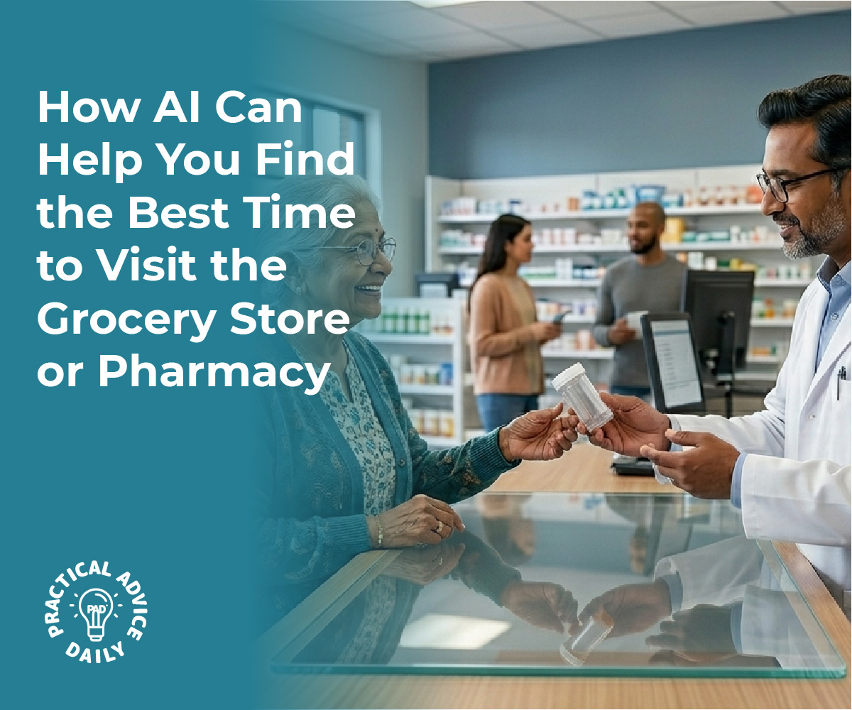
Avoiding crowds doesn’t have to be a guessing game anymore. With AI-powered tools built into Google Maps and Apple Maps, you can make smarter choices about when to run errands or visit your favorite places. A quick glance at “popular times” can help you skip long lines, reduce stress, and enjoy a more relaxed experience—whether you’re grocery shopping, picking up medication, or dining out.
By building the simple habit of checking crowd levels before you leave, you take control of your time and comfort. These tools are designed to work quietly in the background, giving you helpful insights without extra effort. As AI continues to improve, everyday tasks like planning a trip to the store can become smoother, safer, and more enjoyable.